Story by John Vonderlin
email John ([email protected])
email Russell Towle ([email protected])


You’ve got a wonderful piece of history, that you can proud that you went to the trouble to save. Just getting back from the Island without breaking it must have been a challenge.
“Other improvements to the island consisted of a water catchment
basin, together with a cistern and a tank.”
OK, I am sane after all.
The buildings more to the seaward side of the Island would have been
the fog whistle buildings. Apparently there were three different fog
horns or whistles installed over the years.
You know, John, interesting historical resources include, around 1880,
various official California country histories, often published by
Thompson & West. I believe there is a T & W History of San Mateo
County which I used to consult in the early 1970s.
Then there are the General Land Office maps, made over a period of
decades. Around here these begin around 1866. Each map showed a
“township” of thirty-six sections. That is, a township is six miles on
a side. Ideally. These “cadastral” surveys form the basis for all
legal property descriptions in CA. First they laid in the township
boundaries, then the section lines. And the surveyors took notes. So
you can not only consult various generations of the maps but for each
map are the survey notes.
So you might read something like, “Beginning at the SW corner of the
township I go north five chains thirteen links, cross Farmer Jones’
fence, fifteen chains three links find blazed fir witness corner to SE
corner of Rancho Cañada Grande, … .” And so on. All in longhand. The
Bureau of Land Management is the official custodian of these maps and
notes. Most people call them “GLO” maps.
————–
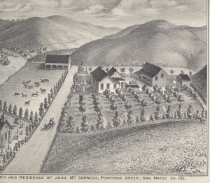
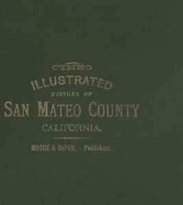
June: Moore & Depue published The Illustrated History of San Mateo County in the 1870s; the book was reproduced 100 years later, and is filled with clean illustrations of ranches and public buildings and includes the town of Pescadero (but not Half Moon Bay) and one of the Steele’s homes.