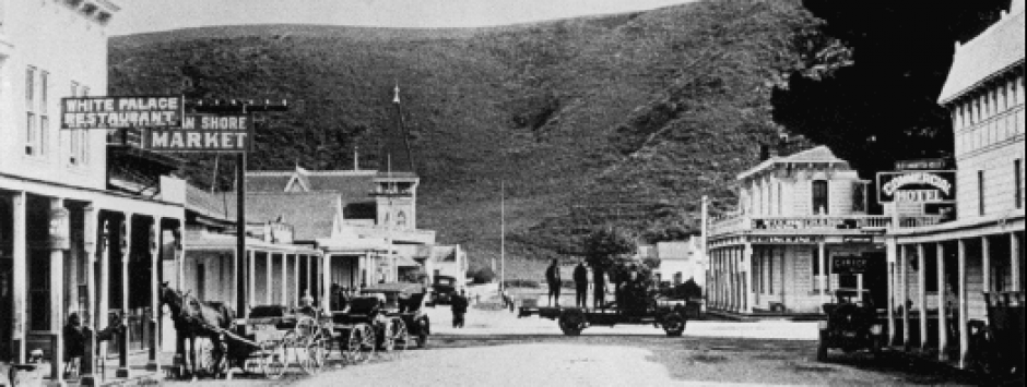
Story by Dominic Lelli
Hi June from Dominic
A number of years ago 10-15 with a few classmates we decided to fish a pond at top of Pomponio Creek we had found on map.We parked on side of Pescadero Rd. near the C0unty park. We hiked NE through overgrown canyon up to ridge.Half way to ridge we reached a building 12×20 concrete with open concrete door on exterior of one side in old paint “danger explosives magazine”if you can’t shed light on past I will have to see if it’s still there before anyone else stumbles on odd cement bunker. In advance Thank You
Regards,
Dominic Lelli
Dominic Lelli
P.S Who can I contact to get more info on Spanish town Historical Group I left message on voice mail that was listed as phone contact never recvd. call back . Again Thanks for all your efforts I enjoy your site and books
———-
June: I asked John Vonderlin to answer the first part of Dominic’s question. I dealt with the second part.
Story by John “vonderin’]
Email John ([email protected])
John Vonderlin to June and Dominic:
Hi June,
It’s a pretty safe bet that it was an explosives storage building. I’ll hunt down an article I have about a fire destroying several mills in the area. They would have all used dynamite.
I’ve attached a Coastsider weblink to a story about POST buying development rights from the Arata family. I bet POST did a full resources analysis before they put up almost 5 million just to keep the two square mile ranch from being developed. In the web article they talk about the Arata brothers, both in their eighties. I bet they would know.
Meg and I took the Pomponio trail towards Mt. Ellen a while ago. That may be the trail he took. I’m waiting for her input as she lives right across Pescadero Creek from where he started. Great question about a relatively unknown area of the Coastside that is slowly opening up as Mid-Pen and POST buy up the old farms. Enjoy. John
————————
 Hi June, and Dominic
 I’ve attached a couple of ScreenShots from Google Earth
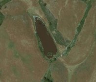
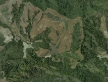
of what I believe is Arata Pond. I’m assuming the larger body of water, just south of Arata Pond in the overview picture, is the Pomponio Reservoir. Perhaps, the emailer can verify that we are talking about the same place.
I had no idea we were that close to the Pomponio watershed on the hike I mentioned. If the map shows the area where the building is/was perhaps he could describe its position in relationship to the pond and reservoir. I wouldn’t mind taking some pictures if it has any historic circumstances. I’d be glad to put it on my list. Enjoy.
June to Dominic:
Here are a few ideas that may lead to new ideas:
the San Mateo County Museum has Spanishtown history, photos, documents. There is a local historian in HMB but I don’t her name. She may work for the City of Half Moon Bay
Hard line for the big Redwood City county museum is 650-299-0104. The museum’s archivist/librarians i Carol Peteson
On my halfmoonbaymemories.com site there are many articles related to Spanishtown, the early name for Half Moon Bay;, it’s just not organized because of the way I work.
Also, there is a walking tour of HMB, an orange colored pamphlet that may still be available. You might find a copy a Bay Book in HMB.The bookstore is located in the Strawflower Shopping Center.
And there’s my HMB Memories book in the library (maybe) and another by Kathryn Guiltier (sp) and an Arcadia book that has not been highly praised. I would go with Kathryn’s book and the tour book of HMB and what the museum has been offered.
Dominic, let us know what happens!
